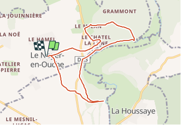

10,3 km | 11,9 km-effort


Usuario


Aplicación GPS de excursión GRATIS
 SityTrail
IGN / Institutos geográficos
SityTrail World
El mundo es suyo
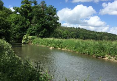
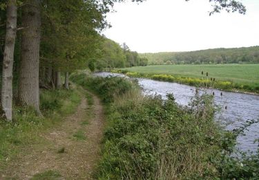
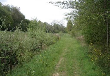
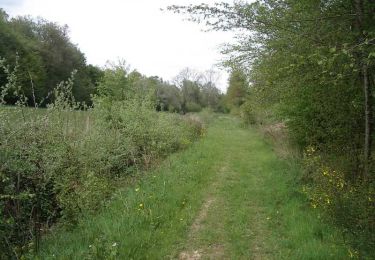
Ruta Senderismo de 8,7 km a descubrir en Normandía, Eure, Le Noyer-en-Ouche. Esta ruta ha sido propuesta por dominiquelaudou.
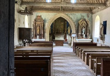
le moulin chapelle,
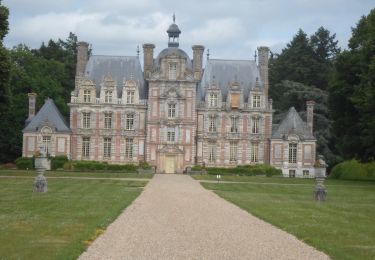
les bois de grammont

Senderismo
Senderismo
Senderismo

Bici de carretera
Senderismo
Bici de montaña
Senderismo

Senderismo